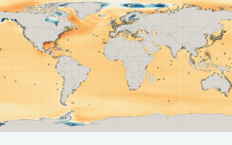
IPCC AR6
AR6 Sea Level Projections
Interactive maps of the IPCC Sixth Assessment Report sea level projections for coastlines worldwide and about 1,000 tide gauges.
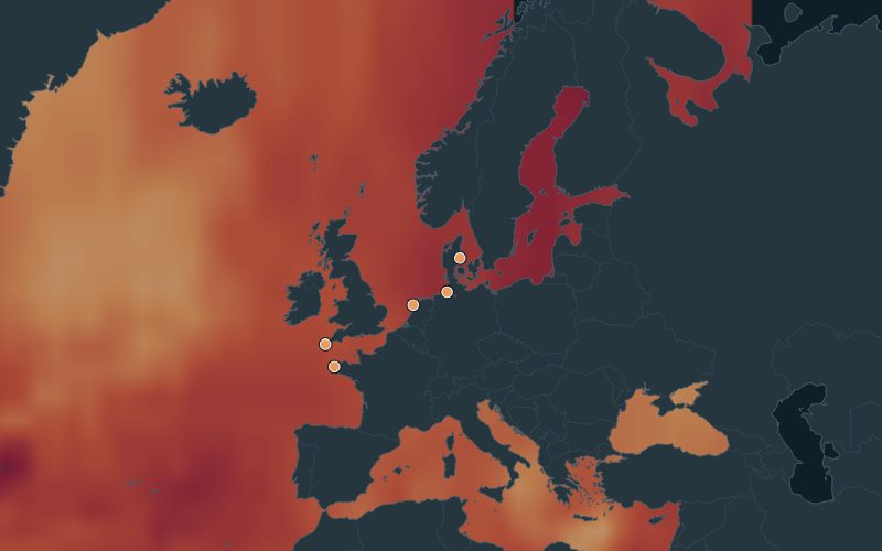
Worldwide
Global Sea Level Explorer
Past, present and future sea level and high water for coastal countries and tide gauges around the world.
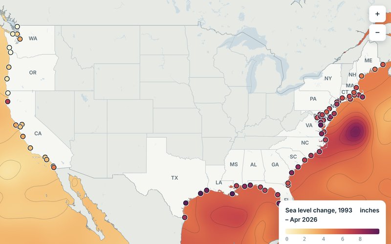
United States
Coastal Sea Level Explorer
Past, present and future sea level and flooding for U.S. coastal locations.
Updated daily
El Niño Dashboard
A satellite view of the developing El Niño and what it means for coastal flooding.
Which tool should I use?
- Planning for the decades ahead anywhere in the world? Start with the AR6 Sea Level Projections.
- Looking at a coastal country or tide gauge outside the U.S.? The Global Sea Level Explorer pairs observations with the AR6 scenarios and high water days.
- Looking at a U.S. coastal community? The Coastal Sea Level Explorer combines local observations with the interagency scenarios and flooding estimates.
- Wondering about flooding this season? The El Niño Dashboard tracks ocean conditions day to day.